
mountains Eastern
Türkiye
Mount Ağrı (Mount Ararat)
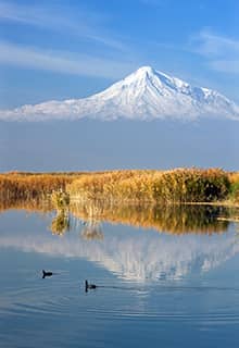
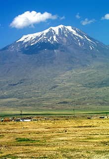
Mount Ağrı, which is believed to be Noah's Ark, is the tallest mountain in Türkiye with a peak of 5,165 meters. It is ideal for mountaineering and hiking. The mountain is on Türkiye's border with Iran and Armenia. About 65% of Mount Ağrı is in the province of Iğdır, while 35% is on the borders with the province of Ağrı.
The nearest center to Mount Ağrı is Doğubeyazıt, which is easily accessible from the provinces of Ağrı and Erzurum.
Summer is the best season to climb Mount Ağrı, although those who enjoy a more challenging climb might prefer winter. Most paths commence on the mountain's eastern slopes.
Mount Ağrı, as the mountain is known in Turkish, is a name that dates back to the Middles Ages. From the same time in the past, in the West, the mountain has been known as Mount Ararat, a name identified with the “mountains of Ararat” mentioned in the Bible.
Cilo Dağı Mountain
Cilo Dağı Mountain with an altitude of 4,135, located in the Yüksekova district of Hakkari, is the second-highest mountain in Türkiye. It is a tectonic mountain whose summit is permanently covered with snow and ice and forms the easternmost extension of the southeastern Taurus Mountains.
The Uludoruk Glacier is a glacier on Mount Uludoruk located in the immediate vicinity (4 km) of Cilo Dağı and also part of the Taurus Mountains.
Prehistoric rock paintings depicting reverse tulips, people, snakes, deer, mountain goats, wild sheep, rabbits, wolves, foxes, and symbolic shapes have been found in the area near the summit of Cilo Dağı Mountain and attract the attention of visitors.
Mount Süphan
Mount Süphan is the 3rd-tallest mountain in Türkiye, and is located of the districts of Malazgirt, Patnos, and Ahlat. It is a composite volcano which has a conical shape built up by many layers of hardened lava.
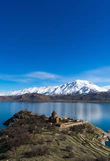
Mount Süphan is immediately north of Lake Van. This mountain is located in the vicinity of Adilcevaz and Patnos. To climb Mount Süphan, an activity best undertaken in summer, a permission must be obtained from the authorities of Adilcevaz. At the summit, there is a mound about a kilometer long formed by lava.
Munzur Mountains
The Munzur Mountains are located in the Ovacık district of Tunceli.
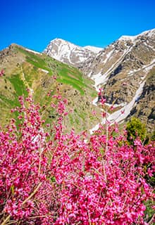
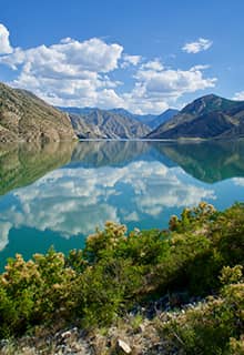
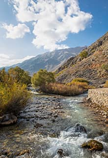
The Munzur Mountains (3,000 m) offer visitors’ culture, history, and natural beauty. The melting snow forms glacial lakes surrounded in lush green plateaus. This eye-catching beauty attracts nature lovers from the surrounding province and districts who come here to appreciate the wonders of nature.
Visitors start their journey at Kırkmerdiven valley and following steep and snowy trails reach the highlands and glacial lakes. From there, the highlands of Teng, Sor, Gani Hesen, Kormuskan, Korteres, and Kepir are accessible.
Palandöken Mountain
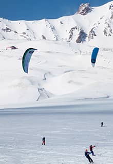
Palandöken Mountains, which are 70 kilometers long and 25 kilometers wide, were declared a winter tourism center in 1993. In Palandöken, which has hosted international events and has the infrastructure to host the Winter Olympics, the runways are among the world's longest and steepest. According to the New York Times, the Palandöken Ski Center is ranked 18th out of 41 ski resorts globally.
In Erzurum, where there is snowfall in October-November, the ski season starts in November and lasts until April.
The nature on Palandöken Mountain presents visitors with different opportunities across the seasons. The Palandöken Ski Resort is a facility for alpine skiing and snowboarding. In average, the skiing season at the resort begins in late October and ends in the first weeks of May in the higher regions. There are Olympic-sized runs, with a total lenght of 28 km, aerial lifts, and one gondola lift.
The ski center is 15 kilometers from the airport, and 4 km from Erzurum city center. Transportation to the ski resort is provided by private vehicles and taxis, and on public holidays by the buses of the Erzurum Metropolitan Municipality.
Other Mountains in the Eastern Anatolia Region
Küçükağrı Mountain
Mor Mountain
Allahuekber Mountains
Yalnızçam Mountain

